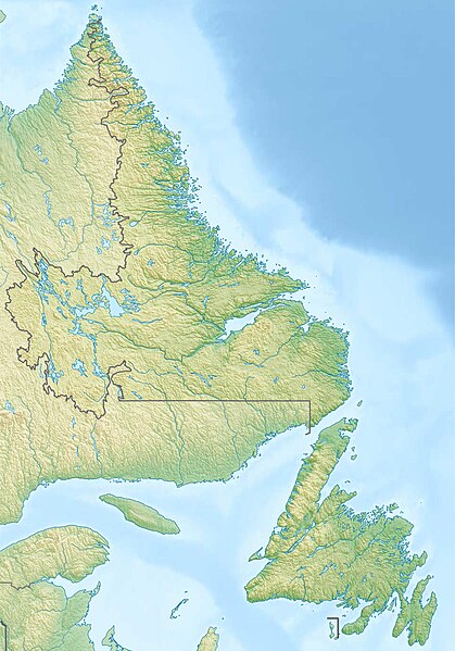
ファイル:Canada Newfoundland and Labrador relief location map.jpg
表示

このプレビューのサイズ: 419 × 599 ピクセル。 その他の解像度: 168 × 240 ピクセル | 336 × 480 ピクセル | 537 × 768 ピクセル | 716 × 1,024 ピクセル | 1,680 × 2,402 ピクセル。
元のファイル (1,680 × 2,402 ピクセル、ファイルサイズ: 1.45メガバイト、MIME タイプ: image/jpeg)
ファイルの履歴
過去の版のファイルを表示するには、その版の日時をクリックしてください。
| 日付と時刻 | サムネイル | 寸法 | 利用者 | コメント | |
|---|---|---|---|---|---|
| 現在の版 | 2012年12月11日 (火) 18:28 |  | 1,680 × 2,402 (1.45メガバイト) | Carport | {{Information |Description= {{de|Physische Positionskarte von Neufundland und Labrador, Kanada}} Quadratische Plattkarte, N-S-Streckung 160 %. Geographische Begrenzung der Karte: * N: 60.8° N * S: 46.5°... |
ファイルの使用状況
以下の 2 ページがこのファイルを使用しています:
グローバルなファイル使用状況
以下に挙げる他のウィキがこの画像を使っています:
- ban.wikipedia.org での使用状況
- bg.wikipedia.org での使用状況
- ce.wikipedia.org での使用状況
- da.wikipedia.org での使用状況
- de.wikipedia.org での使用状況
- Cape Spear
- Bell Island (Neufundland)
- Blow Me Down Provincial Park
- Twillingate Islands
- Smallwood Reservoir
- Avalon (Halbinsel)
- Long Range Mountains
- The Cabox
- Wikipedia:Kartenwerkstatt/Positionskarten/Nordamerika
- Fogo Island
- Vorlage:Positionskarte Kanada Neufundland und Labrador
- Landsat Island
- Belle-Isle-Straße
- Belle Isle (Neufundland und Labrador)
- Killiniq Island
- Kap Race
- Great Northern Peninsula
- Mistastin Lake
- Atikonak Lake
- Lac Joseph
- Ashuanipi Lake
- Hamilton Inlet
- Lake Melville
- Dildo Island
- Bay of Islands (Neufundland)
- Vorlage:Positionskarte Kanada Neufundland
- Groais Island
- Ossokmanuan Reservoir
- Wasserkraftwerk Menihek Lakes
- St. Lewis Inlet
- Alexis Bay
- The Arches Provincial Park
- Dungeon Provincial Park
- Witless Bay Ecological Reserve
- Baccalieu Island Ecological Reserve
- Gannet Islands Ecological Reserve
- Hare Bay Islands Ecological Reserve
- Funk Island Ecological Reserve
- Funk Island
- Table Point Ecological Reserve
- Watts Point Ecological Reserve
- West Brook Ecological Reserve
このファイルのグローバル使用状況を表示する。

