
ファイル:Hampshire UK relief location map.jpg
このプレビューのサイズ: 704 × 599 ピクセル。 その他の解像度: 282 × 240 ピクセル | 564 × 480 ピクセル | 902 × 768 ピクセル | 1,203 × 1,024 ピクセル | 1,999 × 1,702 ピクセル。
元のファイル (1,999 × 1,702 ピクセル、ファイルサイズ: 407キロバイト、MIME タイプ: image/jpeg)
ウィキメディア・コモンズのファイルページにある説明を、以下に表示します。
|
| 解説 |
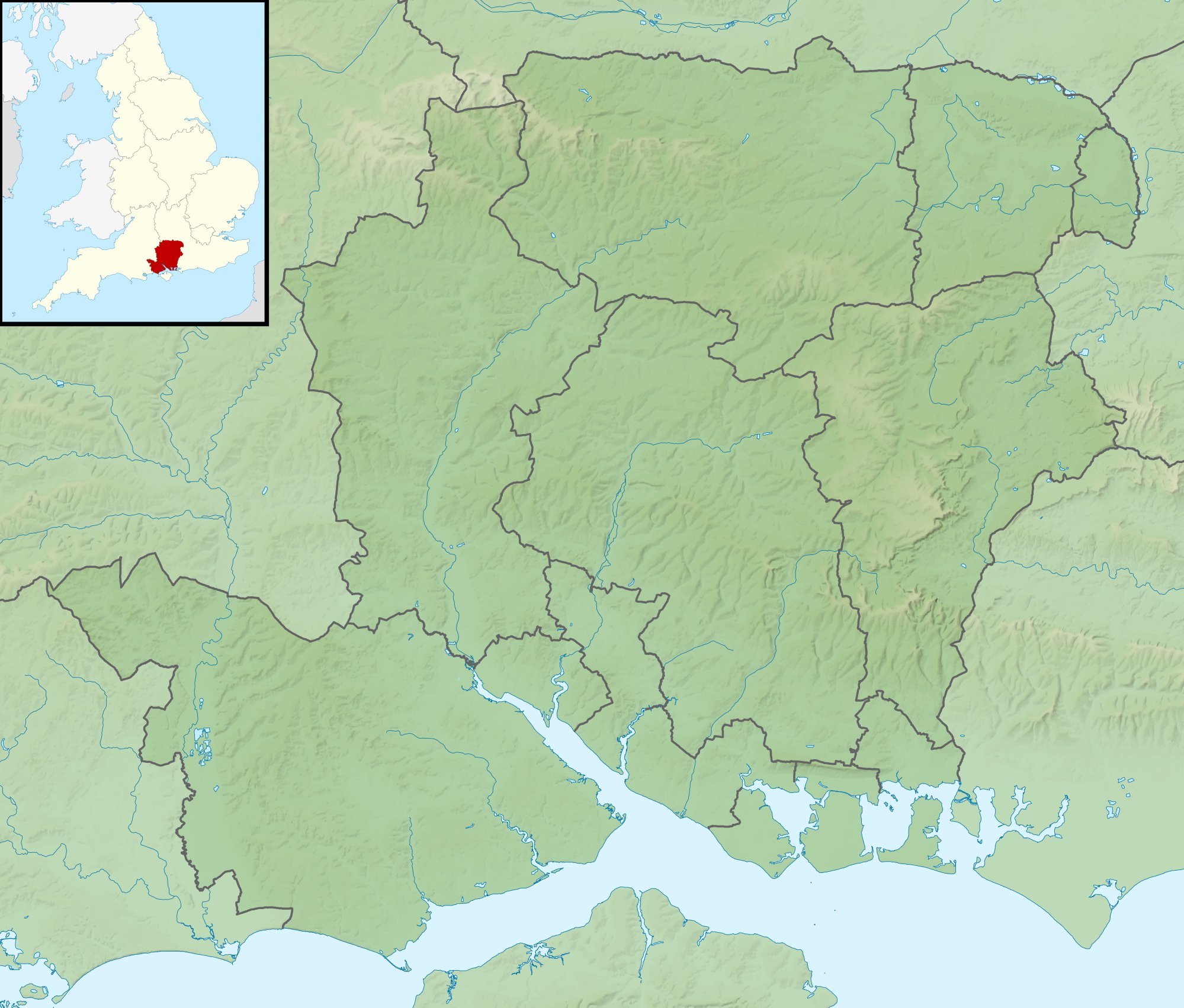
Relief map of Hampshire, UK. Equirectangular map projection on WGS 84 datum, with N/S stretched 155% Geographic limits:
|
| 日付 | |
| 原典 |
|
| 作者 | Nilfanion, created using Ordnance Survey data |
| 許可 (ファイルの再利用) |
このファイルはクリエイティブ・コモンズ 表示-継承 3.0 非移植ライセンスのもとに利用を許諾されています。 帰属: Contains Ordnance Survey data © Crown copyright and database right
|
| その他のバージョン | File:Hampshire UK district map (blank).svg - Blank map |
.svg)
ファイルの履歴
過去の版のファイルを表示するには、その版の日時をクリックしてください。
| 日付と時刻 | サムネイル | 寸法 | 利用者 | コメント | |
|---|---|---|---|---|---|
| 現在の版 | 2011年11月29日 (火) 01:39 | | 1,999 × 1,702 (407キロバイト) | Nilfanion | {{Information |Description=Relief map of Hampshire, UK. Equirectangular map projection on WGS 84 datum, with N/S stretched 155% Geographic limits: *West: 2.01W *East: 0.68W *North: 51.41N *South: 50.68N |Source=[[w:Ordnance Survey|Ordnan |
ファイルの使用状況
以下の 3 ページがこのファイルを使用しています:
グローバルなファイル使用状況
以下に挙げる他のウィキがこの画像を使っています:
- ar.wikipedia.org での使用状況
- bg.wikipedia.org での使用状況
- ceb.wikipedia.org での使用状況
- en-two.iwiki.icu での使用状況
- The Solent
- River Hamble
- Twyford Down
- Battle of Alton
- Lymington River
- Battle of the Solent
- Butser Hill
- Pilot Hill, Hampshire
- Battle of Cheriton
- River Alre
- Bartley Water
- Monks Brook
- List of hillforts in England
- Portsmouth and Southsea Synagogue
- Solent Rescue
- Dark Water (river)
- Siege of Basing House
- Gosport and Fareham Inshore Rescue Service
- Ladle Hill
- William Ogle, 1st Viscount Ogle
- Avon Water, Hampshire
- Hayling Island Lifeboat Station
- Portsmouth Lifeboat Station
- Calshot Lifeboat Station
- River Slea, Hampshire
- River Hart
- Philips PFA Golf Classic
- User:Que/sandbox
- Module:Location map/data/United Kingdom Hampshire
- Module:Location map/data/Hampshire
- Module:Location map/data/United Kingdom Hampshire/doc
- Humphrey Bennet
- Fleet Brook
- User:Que/hillforts
- es.wikipedia.org での使用状況
このファイルのグローバル使用状況を表示する。