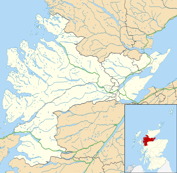
ファイル:Ross and Cromarty UK location map.svg
表示

この SVG ファイルのこの PNG プレビューのサイズ: 610 × 599 ピクセル. その他の解像度: 244 × 240 ピクセル | 489 × 480 ピクセル | 782 × 768 ピクセル | 1,042 × 1,024 ピクセル | 2,085 × 2,048 ピクセル | 1,425 × 1,400 ピクセル。
元のファイル (SVG ファイル、1,425 × 1,400 ピクセル、ファイルサイズ: 3.04メガバイト)
ファイルの履歴
過去の版のファイルを表示するには、その版の日時をクリックしてください。
| 日付と時刻 | サムネイル | 寸法 | 利用者 | コメント | |
|---|---|---|---|---|---|
| 現在の版 | 2011年3月4日 (金) 23:31 |  | 1,425 × 1,400 (3.04メガバイト) | Nilfanion | {{Information |Description=Map of Ross and Cromarty, UK in 2011, with the following information shown: *Ward boundaries *Coastline and lakes *Roads and railways *Urban areas Equirectangular map projection on WGS 84 datum, with N/S |
ファイルの使用状況
以下の 4 ページがこのファイルを使用しています:
グローバルなファイル使用状況
以下に挙げる他のウィキがこの画像を使っています:
- ar.wikipedia.org での使用状況
- be.wikipedia.org での使用状況
- br.wikipedia.org での使用状況
- ceb.wikipedia.org での使用状況
- en-two.iwiki.icu での使用状況
- Achduart
- Achiltibuie
- Cromarty
- Gairloch
- Ullapool
- Dingwall
- Fortrose
- Kyle of Lochalsh
- Lochcarron
- Culbokie
- Portmahomack
- Hill of Fearn
- Strathpeffer
- Loch Kishorn
- Glenelg, Highland
- Saltburn, Ross and Cromarty
- Dornie
- Invergordon
- Applecross
- Hilton of Cadboll
- Achanalt
- Achandunie
- Alness
- Rosemarkie
- Achintraid
- Ardarroch
- Evanton
- Kildary
- Jemimaville
- Shieldaig
- Kinlochewe
- Poolewe
- Scoraig
- Victoria Park, Dingwall
- Coigach
- Conon Bridge
- North Kessock
- Munlochy
- Edderton
- Duirinish, Lochalsh
- Garve
- Muir of Ord
- Corran, Loch Hourn
- Milton, Easter Ross
- HMS Fieldfare
- Maryburgh
このファイルのグローバル使用状況を表示する。
