
ファイル:Southernmost point buoy, NE view.jpg
このプレビューのサイズ: 800 × 533 ピクセル。 その他の解像度: 320 × 213 ピクセル | 640 × 427 ピクセル | 1,024 × 682 ピクセル | 1,280 × 853 ピクセル | 2,560 × 1,706 ピクセル | 4,000 × 2,666 ピクセル。
元のファイル (4,000 × 2,666 ピクセル、ファイルサイズ: 4.12メガバイト、MIME タイプ: image/jpeg)
ウィキメディア・コモンズのファイルページにある説明を、以下に表示します。
|
概要
| 解説 |
Polski: Najbardziej wysunięty na południe punkt Stanów Zjednoczonych w Key West, Floryda |
| 日付 | 撮影日:2018年8月22日, 15:11:15 (UTC−5) |
| 原典 | 投稿者自身による著作物 |
| 作者 | Radomianin |
| カメラの位置 | | 以下のサービスでこの位置を確認する: オープンストリートマップ |
|---|
| 帰属 (ライセンスによる要求事項) | © Radomianin / Wikimedia Commons / CC BY-SA 4.0 |
| Using this image | You can use this image file free of charge under the terms of the free license CC BY-SA 4.0. In particular, this means:
|
| Editing this image |
|
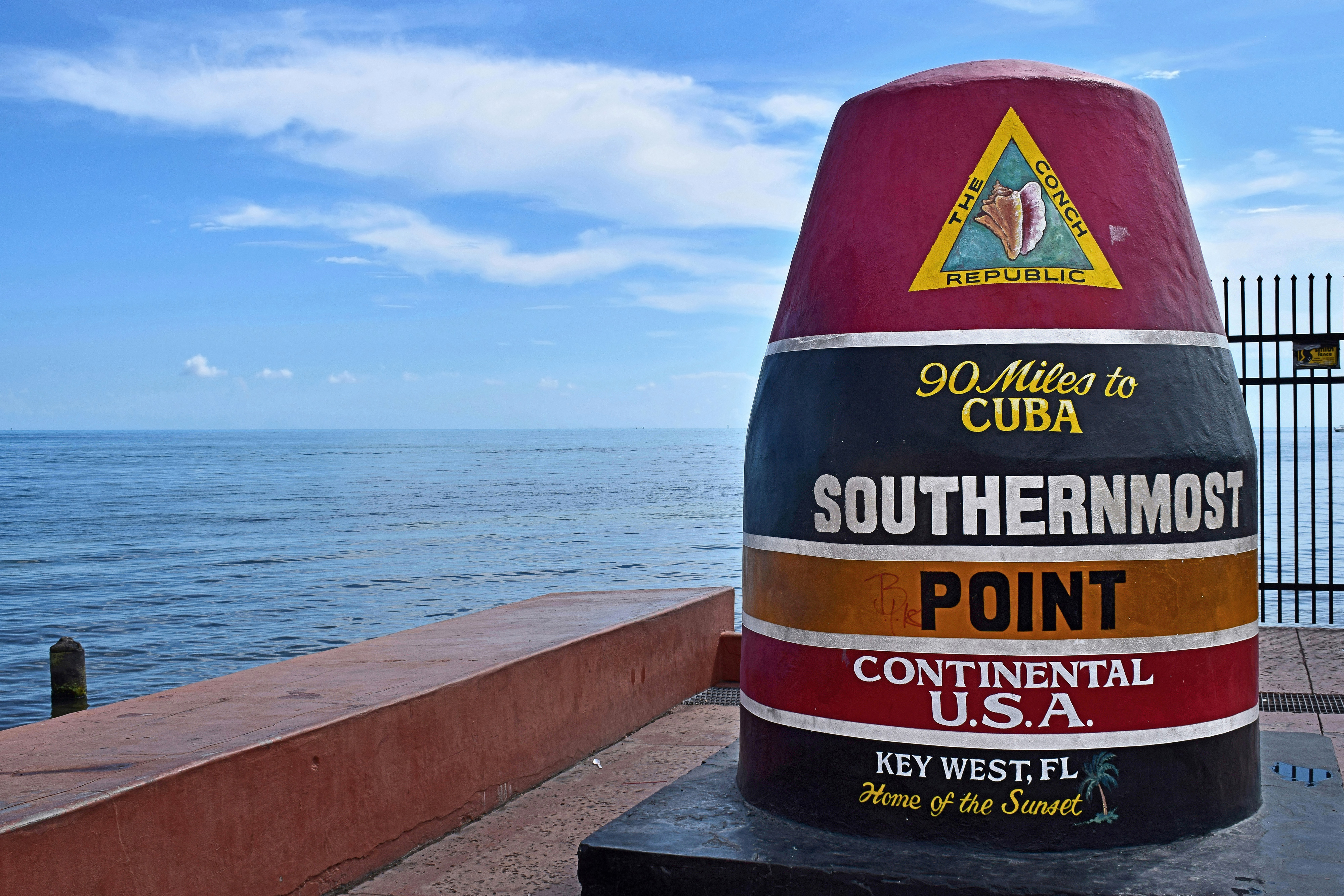
Photo of the Southernmost point buoy, view from northeast. Contrary to the buoy inscription and file metadata, the Cuban mainland is about 153 km (95 statute miles) due south.
評価
|
|
ライセンス
この作品の著作権者である私は、この作品を以下のライセンスで提供します。
このファイルはクリエイティブ・コモンズ 表示-継承 4.0 国際ライセンスのもとに利用を許諾されています。
- あなたは以下の条件に従う場合に限り、自由に
- 共有 – 本作品を複製、頒布、展示、実演できます。
- 再構成 – 二次的著作物を作成できます。
- あなたの従うべき条件は以下の通りです。
- 表示 – あなたは適切なクレジットを表示し、ライセンスへのリンクを提供し、変更があったらその旨を示さなければなりません。これらは合理的であればどのような方法で行っても構いませんが、許諾者があなたやあなたの利用行為を支持していると示唆するような方法は除きます。
- 継承 – もしあなたがこの作品をリミックスしたり、改変したり、加工した場合には、あなたはあなたの貢献部分を元の作品とこれと同一または互換性があるライセンスの下に頒布しなければなりません。
ファイルの履歴
過去の版のファイルを表示するには、その版の日時をクリックしてください。
| 日付と時刻 | サムネイル | 寸法 | 利用者 | コメント | |
|---|---|---|---|---|---|
| 現在の版 | 2020年11月20日 (金) 23:23 | | 4,000 × 2,666 (4.12メガバイト) | Radomianin | slight noise reduction in the sky area |
| 2018年12月4日 (火) 11:33 |  | 4,000 × 2,666 (3.09メガバイト) | Radomianin | Farbsättigung, Kontrast und Metadaten bearbeitet | |
| 2018年11月27日 (火) 10:55 |  | 4,000 × 2,666 (3.02メガバイト) | Radomianin | Dynamikumfang vergrößert, Metadaten aktualisiert, Auflösung verringert |
ファイルの使用状況
以下のページがこのファイルを使用しています:
グローバルなファイル使用状況
以下に挙げる他のウィキがこの画像を使っています:
- be.wikipedia.org での使用状況
- br.wikipedia.org での使用状況
- cs.wikipedia.org での使用状況
- de.wikipedia.org での使用状況
- en-two.iwiki.icu での使用状況
- nl.wikipedia.org での使用状況
- pl.wikipedia.org での使用状況
- ro.wikipedia.org での使用状況
- www.wikidata.org での使用状況