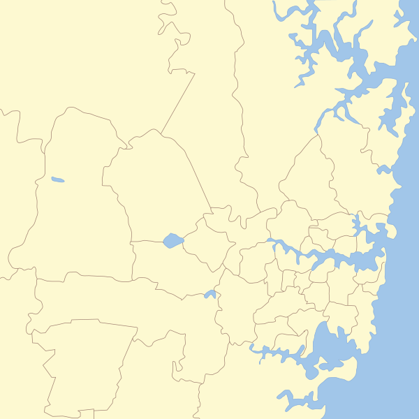
ファイル:Sydney Areas Map.svg
表示

この SVG ファイルのこの PNG プレビューのサイズ: 600 × 600 ピクセル. その他の解像度: 240 × 240 ピクセル | 480 × 480 ピクセル | 768 × 768 ピクセル | 1,024 × 1,024 ピクセル | 2,048 × 2,048 ピクセル | 850 × 850 ピクセル。
元のファイル (SVG ファイル、850 × 850 ピクセル、ファイルサイズ: 195キロバイト)
ファイルの履歴
過去の版のファイルを表示するには、その版の日時をクリックしてください。
| 日付と時刻 | サムネイル | 寸法 | 利用者 | コメント | |
|---|---|---|---|---|---|
| 現在の版 | 2011年1月8日 (土) 13:14 |  | 850 × 850 (195キロバイト) | Hatgreg | {{Information |Description=== Map of Sydney with Local Government areas borders marked. |Source=*File:New_South_Wales_Local_Government_Areas.svg |Date=2011-01-08 13:12 (UTC) |Author=*File:New_South_Wales_Local_Government_Areas.svg: '''User:Rok |
ファイルの使用状況
このファイルを使用しているページはありません。
グローバルなファイル使用状況
以下に挙げる他のウィキがこの画像を使っています:
- cy.wikipedia.org での使用状況
- en-two.iwiki.icu での使用状況
- Eastern Suburbs (Sydney)
- St George, Sydney
- Hills District, New South Wales
- South Western Sydney
- Macarthur, New South Wales
- Forest District (Sydney)
- Canterbury-Bankstown
- Regions of Sydney
- Template:Sydney image with region labels
- Template talk:Sydney image with region labels
- User:Hatgreg/sandbox
- User:Hatgreg/sandbox2
- ms.wikipedia.org での使用状況
- pt.wikipedia.org での使用状況

