
ファイル:British Isles Rockall.svg

この SVG ファイルのこの PNG プレビューのサイズ: 447 × 599 ピクセル. その他の解像度: 179 × 240 ピクセル | 358 × 480 ピクセル | 573 × 768 ピクセル | 764 × 1,024 ピクセル | 1,527 × 2,048 ピクセル | 880 × 1,180 ピクセル。
元のファイル (SVG ファイル、880 × 1,180 ピクセル、ファイルサイズ: 138キロバイト)
ウィキメディア・コモンズのファイルページにある説明を、以下に表示します。
|
ファイルの履歴
過去の版のファイルを表示するには、その版の日時をクリックしてください。
| 日付と時刻 | サムネイル | 寸法 | 利用者 | コメント | |
|---|---|---|---|---|---|
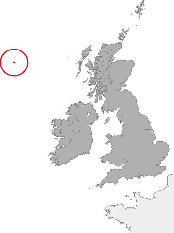
| 現在の版 | 2007年10月21日 (日) 02:06 | | 880 × 1,180 (138キロバイト) | Cnbrb | == Summary == {{Information |Description=map showing the location of Rockall in relation to Great Britain and Ireland |Source=self-made |Date=2007-21-09 |Author= Cnbrb }} Category:Locator maps of countries of the United Kingdom [[Categ |
| 2007年10月21日 (日) 01:55 |  | 1,175 × 1,180 (137キロバイト) | Cnbrb | == Summary == {{Information |Description=map showing the location of Rockall in relation to Great Britain and Ireland |Source=self-made |Date=2007-21-09 |Author= Cnbrb }} Category:Locator maps of countries of the United Kingdom [[Categ |
ファイルの使用状況
以下のページがこのファイルを使用しています:
グローバルなファイル使用状況
以下に挙げる他のウィキがこの画像を使っています:
- it.wikipedia.org での使用状況
- sk.wikipedia.org での使用状況
- zh-two.iwiki.icu での使用状況