
ファイル:East Riding of Yorkshire UK location map.svg

この SVG ファイルのこの PNG プレビューのサイズ: 772 × 600 ピクセル. その他の解像度: 309 × 240 ピクセル | 618 × 480 ピクセル | 989 × 768 ピクセル | 1,280 × 994 ピクセル | 2,560 × 1,989 ピクセル | 1,425 × 1,107 ピクセル。
元のファイル (SVG ファイル、1,425 × 1,107 ピクセル、ファイルサイズ: 1.33メガバイト)
ウィキメディア・コモンズのファイルページにある説明を、以下に表示します。
|
| 解説 |
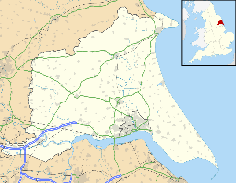
Map of the East Riding of Yorkshire, UK with the following information shown:
Equirectangular map projection on WGS 84 datum, with N/S stretched 165% Geographic limits:
|
| 日付 | |
| 原典 |
|
| 作者 | Nilfanion, created using Ordnance Survey data |
| 許可 (ファイルの再利用) |
このファイルはクリエイティブ・コモンズ 表示-継承 3.0 非移植ライセンスのもとに利用を許諾されています。 帰属: Contains Ordnance Survey data © Crown copyright and database right
|
| その他のバージョン | File:East Riding of Yorkshire UK district map (blank).svg - Blank map |
.svg)
ファイルの履歴
過去の版のファイルを表示するには、その版の日時をクリックしてください。
| 日付と時刻 | サムネイル | 寸法 | 利用者 | コメント | |
|---|---|---|---|---|---|
| 現在の版 | 2010年9月26日 (日) 18:48 | | 1,425 × 1,107 (1.33メガバイト) | Nilfanion | {{Information |Description=Map of the East Riding of Yorkshire, UK with the following information shown: *Administrative borders *Coastline, lakes and rivers *Roads and railways *Urban areas Equirectangular map projection o |
ファイルの使用状況
以下の 6 ページがこのファイルを使用しています:
グローバルなファイル使用状況
以下に挙げる他のウィキがこの画像を使っています:
- ar.wikipedia.org での使用状況
- bg.wikipedia.org での使用状況
- ceb.wikipedia.org での使用状況
- en-two.iwiki.icu での使用状況
- Spurn
- Beverley
- East Riding of Yorkshire
- Everingham
- Goole
- Pocklington
- Bridlington
- Hornsea
- Haltemprice
- Goodmanham
- Driffield
- Wetwang
- Boothferry
- Stamford Bridge, East Riding of Yorkshire
- Bempton Cliffs
- Withernsea
- RAF Leconfield
- Fort Paull
- Market Weighton
- Hedon
- Hessle
- Millington, East Riding of Yorkshire
- Airmyn
- Flamborough
- List of civil parishes in the East Riding of Yorkshire
- Easington, East Riding of Yorkshire
- Wold Newton, East Riding of Yorkshire
- Burton Constable Hall
- Cottingham, East Riding of Yorkshire
- Arram
- Ferens Art Gallery
- Bridlington Priory
- Tibthorpe
- Wawne
- Langtoft, East Riding of Yorkshire
- Skelton, East Riding of Yorkshire
- Bilton, East Riding of Yorkshire
- Leven, East Riding of Yorkshire
- Burton Agnes
- Holme-on-Spalding-Moor
- Roos
- Middleton on the Wolds
- Howden
- Rudston
- Bishop Burton
- Sewerby
- Carnaby, East Riding of Yorkshire
このファイルのグローバル使用状況を表示する。