
ファイル:Jammu and Kashmir locator map.svg

この SVG ファイルのこの PNG プレビューのサイズ: 764 × 600 ピクセル. その他の解像度: 306 × 240 ピクセル | 611 × 480 ピクセル | 978 × 768 ピクセル | 1,280 × 1,005 ピクセル | 2,560 × 2,010 ピクセル | 2,160 × 1,696 ピクセル。
元のファイル (SVG ファイル、2,160 × 1,696 ピクセル、ファイルサイズ: 679キロバイト)
ウィキメディア・コモンズのファイルページにある説明を、以下に表示します。
|
| 題名 |
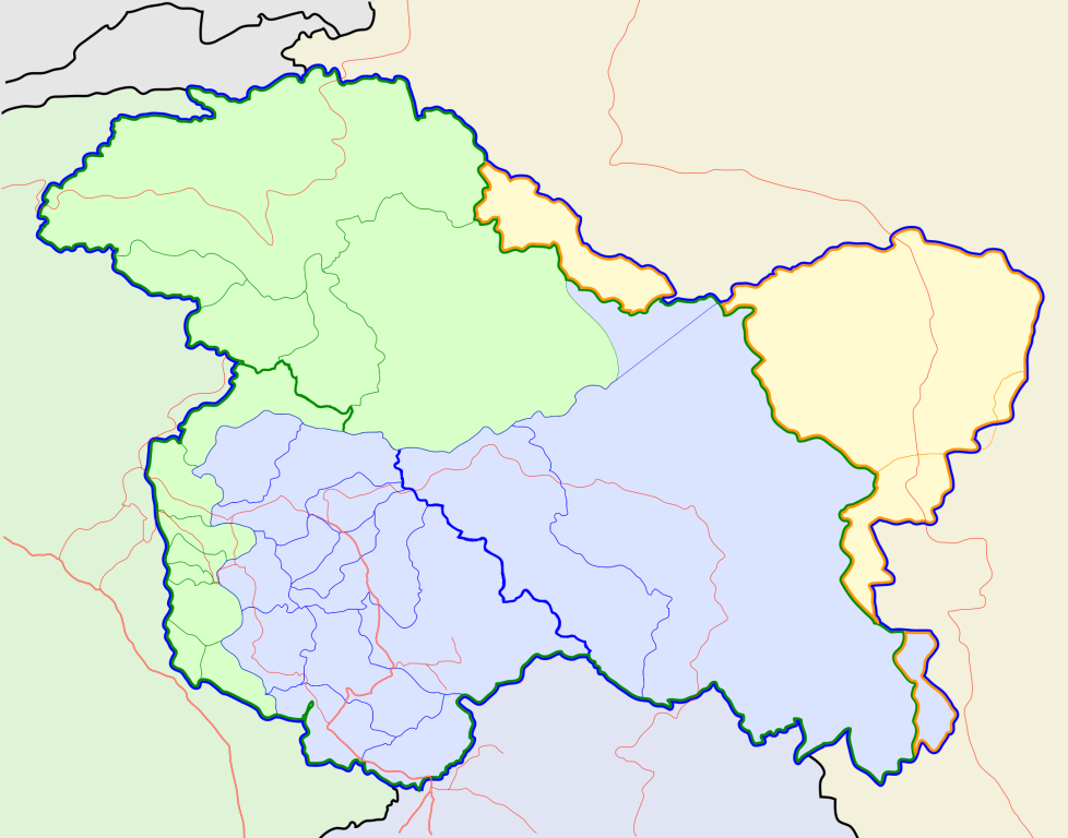
Jammu and Kashmir locator map |
||
| 記述 |
Locator map for the state of w:Jammu and Kashmir |
||
| 日付 | |||
| 原典 |
投稿者自身による著作物 |
||
| 作者 |
|
||
| 許可 (ファイルの再利用) |
この作品の著作権者である私は、この作品を以下のライセンスで提供します。 このファイルはクリエイティブ・コモンズ 表示-継承 3.0 非移植ライセンスのもとに利用を許諾されています。
|
||
| Geotemporal data | |||
| 記載日付 | 20世紀下半期および21世紀 | ||
| Georeferencing | If inappropriate please set warp_status = skip to hide. | ||
| Archival data | |||
| 備考 | Part of WikiProject India Maps | ||
ファイルの履歴
過去の版のファイルを表示するには、その版の日時をクリックしてください。
| 日付と時刻 | サムネイル | 寸法 | 利用者 | コメント | |
|---|---|---|---|---|---|
| 現在の版 | 2020年10月6日 (火) 10:31 | | 2,160 × 1,696 (679キロバイト) | Hindian1947 | Fixed colour |
| 2020年10月6日 (火) 10:26 |  | 2,700 × 2,120 (153キロバイト) | Hindian1947 | Ladakh, Gilgit Baltistan borders fixed | |
| 2007年4月9日 (月) 18:00 |  | 2,160 × 1,696 (211キロバイト) | Planemad | {{WikiProject_India_Maps |Title=Jammu and Kashmir locator map |Description=Locator map for the state of [w:Jammu and Kashmir]] |Source= [http://www.koausa.org/Nature/maps.html Map of Kashmir], |Date=April 2007 |Author=w:user:Planemad }} [[Category:W |
ファイルの使用状況
以下の 3 ページがこのファイルを使用しています:
グローバルなファイル使用状況
以下に挙げる他のウィキがこの画像を使っています:
- ar.wikipedia.org での使用状況
- bn.wikipedia.org での使用状況
- bpy.wikipedia.org での使用状況
- ceb.wikipedia.org での使用状況
- de.wikipedia.org での使用状況
- en.wiktionary.org での使用状況
- fa.wikipedia.org での使用状況
- gu.wikipedia.org での使用状況
- hi.wikipedia.org での使用状況
- साँचा:ज्ञानसन्दूक भारत के क्षेत्र
- साँचा:ज्ञानसन्दूक भारत के क्षेत्र/doc
- अनंतनाग लोक सभा निर्वाचन क्षेत्र
- बारामूला लोक सभा निर्वाचन क्षेत्र
- जम्मू लोक सभा निर्वाचन क्षेत्र
- लद्दाख लोक सभा निर्वाचन क्षेत्र
- श्रीनगर लोक सभा निर्वाचन क्षेत्र
- उधमपुर लोक सभा निर्वाचन क्षेत्र
- शारदापीठ
- रिमो मुज़ताग़
- Module:Location map/data/Kashmir
- Module:Location map/data/Kashmir/doc
- हाजी पीर की लड़ाई
- शाह मीर राजवंश
- id.wikipedia.org での使用状況
- it.wikipedia.org での使用状況
- ks.wikipedia.org での使用状況
- mai.wikipedia.org での使用状況
- ml.wikipedia.org での使用状況
このファイルのグローバル使用状況を表示する。