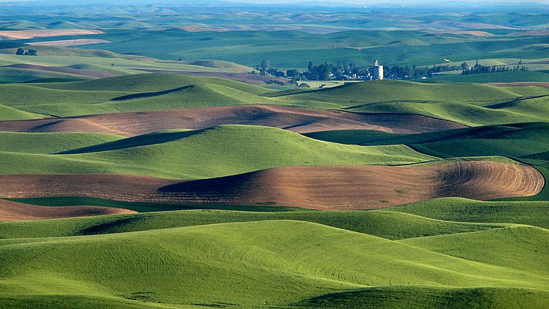
ファイル:Palouse hills northeast of Walla Walla.jpg
表示

このプレビューのサイズ: 800 × 451 ピクセル。 その他の解像度: 320 × 180 ピクセル | 640 × 361 ピクセル | 1,118 × 630 ピクセル。
元のファイル (1,118 × 630 ピクセル、ファイルサイズ: 589キロバイト、MIME タイプ: image/jpeg)
ファイルの履歴
過去の版のファイルを表示するには、その版の日時をクリックしてください。
| 日付と時刻 | サムネイル | 寸法 | 利用者 | コメント | |
|---|---|---|---|---|---|
| 現在の版 | 2009年1月13日 (火) 15:03 |  | 1,118 × 630 (589キロバイト) | File Upload Bot (Magnus Manske) | {{Information |Description= We were hearing a sound like a plane and couldn't figure out where the plane was. Finally one of us spotted a yellow plane flying in the area of the grain elevator! Amazing. Steptoe Butte is the perfect high point in the Pa |
ファイルの使用状況
以下の 3 ページがこのファイルを使用しています:
グローバルなファイル使用状況
以下に挙げる他のウィキがこの画像を使っています:
- ar.wikipedia.org での使用状況
- de.wikipedia.org での使用状況
- en-two.iwiki.icu での使用状況
- en.wikivoyage.org での使用状況
- es.wikipedia.org での使用状況
- ga.wikipedia.org での使用状況
- hsb.wikipedia.org での使用状況
- it.wikipedia.org での使用状況
- it.wikibooks.org での使用状況
- it.wikiversity.org での使用状況
- nl.wikipedia.org での使用状況
- ru.wikipedia.org での使用状況
- simple.wikipedia.org での使用状況
- tr.wikipedia.org での使用状況
- uk.wikipedia.org での使用状況
- vi.wikipedia.org での使用状況
