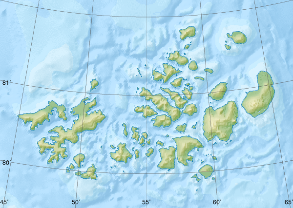
ファイル:Relief Map of Franz Josef Land.png
表示
Relief_Map_of_Franz_Josef_Land.png (600 × 427 ピクセル、ファイルサイズ: 403キロバイト、MIME タイプ: image/png)
ファイルの履歴
過去の版のファイルを表示するには、その版の日時をクリックしてください。
| 日付と時刻 | サムネイル | 寸法 | 利用者 | コメント | |
|---|---|---|---|---|---|
| 現在の版 | 2018年10月17日 (水) 09:41 |  | 600 × 427 (403キロバイト) | RosssW | Полуостров стал островом https://ru.wikipedia.org/wiki/Остров_Юрия_Кучиева |
| 2012年5月15日 (火) 17:57 |  | 600 × 427 (374キロバイト) | Nzeemin | bathymetry interpolated | |
| 2012年4月7日 (土) 08:50 |  | 600 × 427 (251キロバイト) | Nzeemin | frame removed | |
| 2012年3月17日 (土) 19:14 |  | 600 × 427 (251キロバイト) | Nzeemin | plus bathymetry | |
| 2012年3月10日 (土) 19:57 |  | 600 × 427 (95キロバイト) | Nzeemin |
ファイルの使用状況
以下のページがこのファイルを使用しています:
グローバルなファイル使用状況
以下に挙げる他のウィキがこの画像を使っています:
- az.wikipedia.org での使用状況
- be.wikipedia.org での使用状況
- cs.wikipedia.org での使用状況
- de.wikipedia.org での使用状況
- Hayes-Insel
- Wilczek-Insel
- Wilczekland
- Rudolf-Insel
- Graham-Bell-Insel
- Hall-Insel (Franz-Josef-Land)
- Alexandraland
- Prinz-Georg-Land
- Koldewey-Insel
- Wiener-Neustadt-Insel
- Hohenlohe-Insel
- Northbrook-Insel
- Hooker-Insel
- Eva-Liv-Insel
- Jackson-Insel
- Champ-Insel
- Alger-Insel
- Vorlage:Positionskarte Franz-Josef-Land
- Ziegler-Insel
- Salisbury-Insel
- McClintock-Insel
- Perlmutt-Insel
- Arthur-Insel
- La-Ronciere-Insel
- Bell-Insel
- Mabel-Insel
- Becker-Insel
- Greely-Insel
- Salm-Insel
- Kane-Insel
- Kuhn-Insel (Franz-Josef-Land)
- Karl-Alexander-Insel
- Hoffmann-Insel
- Lütke-Insel
- Brosch-Insel
- Hochstetter-Inseln
- Luigi-Insel
- Bruce-Insel
このファイルのグローバル使用状況を表示する。


