
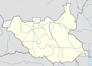
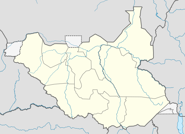
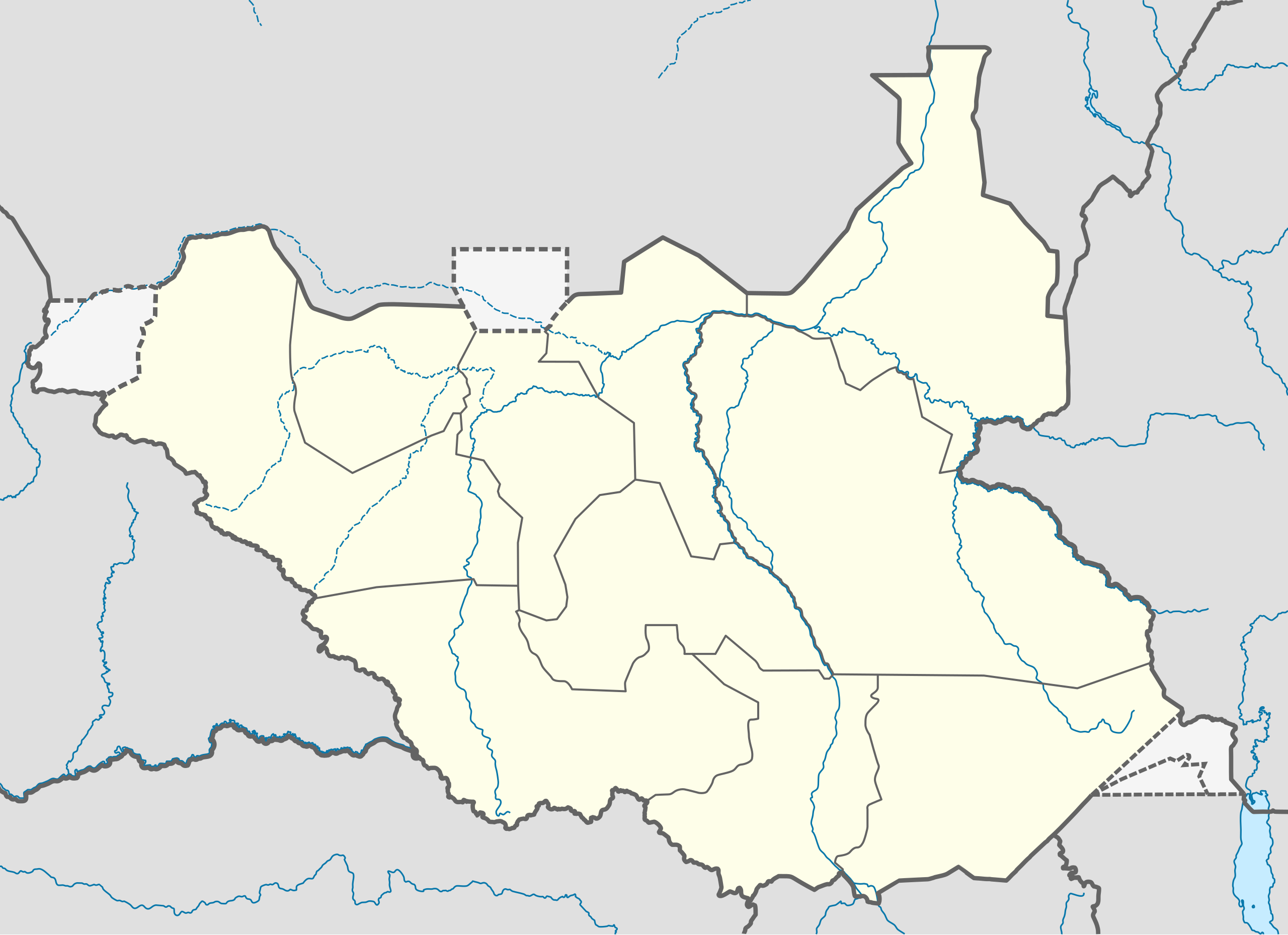
ファイル:South Sudan location map.svg

元のファイル (SVG ファイル、1,561 × 1,133 ピクセル、ファイルサイズ: 205キロバイト)
ウィキメディア・コモンズのファイルページにある説明を、以下に表示します。
|
概要
| 解説 |
Deutsch: Positionskarte vom Südsudan
Quadratische Plattkarte, N-S-Streckung 101 %. Geographische Begrenzung der Karte:
English: Location map of South Sudan
Equirectangular projection, N/S stretching 101 %. Geographic limits of the map:
|
|
| 日付 | ||
| 原典 |
投稿者自身による著作物, using
|
|
| 作者 | NordNordWest | |
| 許可 (ファイルの再利用) |
このファイルはクリエイティブ・コモンズ 表示-継承 3.0 ドイツライセンスのもとに利用を許諾されています。
 このファイルはクリエイティブ・コモンズ 表示-継承 3.0 非移植ライセンスのもとに利用を許諾されています。
|
|
| その他のバージョン |
このファイルの派生的著作物: File:South Sudan location green map.svg |


|
この地図は、ドイツ語版の(地図研究室)で制作、もしくは改善されたものです。更なる改善の為、地図を提案することもできます。
|
ファイルの履歴
過去の版のファイルを表示するには、その版の日時をクリックしてください。
| 日付と時刻 | サムネイル | 寸法 | 利用者 | コメント | |
|---|---|---|---|---|---|
| 現在の版 | 2011年8月18日 (木) 08:21 | | 1,561 × 1,133 (205キロバイト) | Spesh531 | I am reverting and fixing all of the templates ot the best of my ability, I can need some help |
| 2011年8月18日 (木) 07:53 |  | 1,500 × 1,133 (171キロバイト) | NordNordWest | you cannot change the area that is shown without adjusting all templates in which this map is used | |
| 2011年8月17日 (水) 23:20 |  | 1,561 × 1,133 (205キロバイト) | Spesh531 | adding a disputed territory | |
| 2011年7月18日 (月) 11:42 |  | 1,500 × 1,133 (171キロバイト) | NordNordWest | corr | |
| 2011年7月8日 (金) 12:04 |  | 1,500 × 1,133 (172キロバイト) | NordNordWest | upd | |
| 2011年2月18日 (金) 14:23 |  | 1,500 × 1,133 (178キロバイト) | NordNordWest | =={{int:filedesc}}== {{Information |Description= {{de|Positionskarte vom Südsudan}} Quadratische Plattkarte, N-S-Streckung 101 %. Geographische Begrenzung der Karte: * N: 12.7° N * S: 3.2° N * W: 23.7° O * O: 36.4° O {{en|Location m |
ファイルの使用状況
このファイルを使用しているページはありません。
グローバルなファイル使用状況
以下に挙げる他のウィキがこの画像を使っています:
- af.wikipedia.org での使用状況
- ar.wikipedia.org での使用状況
- bn.wikipedia.org での使用状況
- ckb.wikipedia.org での使用状況
- da.wikipedia.org での使用状況
- de.wikipedia.org での使用状況
- en-two.iwiki.icu での使用状況
- eo.wikipedia.org での使用状況
- es.wikipedia.org での使用状況
- eu.wikipedia.org での使用状況
- fa.wikipedia.org での使用状況
- frr.wikipedia.org での使用状況
- gl.wikipedia.org での使用状況
- hy.wikipedia.org での使用状況
- id.wikipedia.org での使用状況
- incubator.wikimedia.org での使用状況
- it.wikipedia.org での使用状況
このファイルのグローバル使用状況を表示する。