
ファイル:Stroud UK locator map.svg

この SVG ファイルのこの PNG プレビューのサイズ: 516 × 600 ピクセル. その他の解像度: 206 × 240 ピクセル | 413 × 480 ピクセル | 661 × 768 ピクセル | 881 × 1,024 ピクセル | 1,762 × 2,048 ピクセル | 1,089 × 1,266 ピクセル。
元のファイル (SVG ファイル、1,089 × 1,266 ピクセル、ファイルサイズ: 1.09メガバイト)
ウィキメディア・コモンズのファイルページにある説明を、以下に表示します。
|
| 解説 |
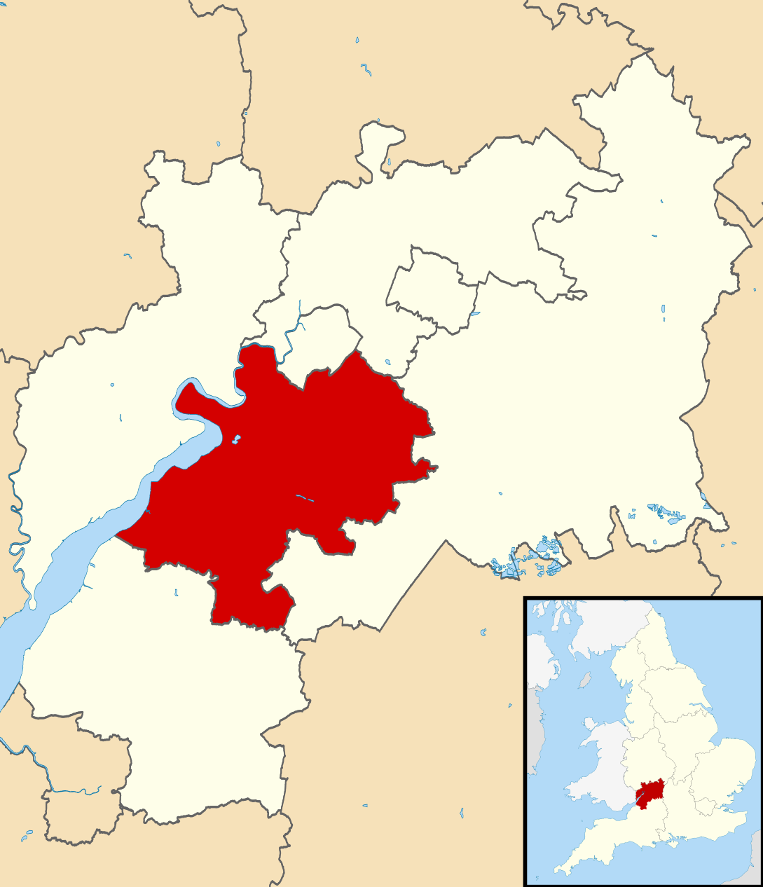
Map of Gloucestershire, UK with Stroud District highlighted. Equirectangular map projection on WGS 84 datum, with N/S stretched 160% |
| 日付 | |
| 原典 |
|
| 作者 | Nilfanion, created using Ordnance Survey data |
| 許可 (ファイルの再利用) |
このファイルはクリエイティブ・コモンズ 表示-継承 3.0 非移植ライセンスのもとに利用を許諾されています。 帰属: Contains Ordnance Survey data © Crown copyright and database right
|
ファイルの履歴
過去の版のファイルを表示するには、その版の日時をクリックしてください。
| 日付と時刻 | サムネイル | 寸法 | 利用者 | コメント | |
|---|---|---|---|---|---|
| 現在の版 | 2011年2月27日 (日) 12:29 | | 1,089 × 1,266 (1.09メガバイト) | Nilfanion | {{Information |Description=Map of Gloucestershire, UK with Stroud District highlighted. Equirectangular map projection on WGS 84 datum, with N/S stretched 160% |Source=Ordnance Survey [h |
ファイルの使用状況
以下の 4 ページがこのファイルを使用しています:
グローバルなファイル使用状況
以下に挙げる他のウィキがこの画像を使っています:
- bg.wikipedia.org での使用状況
- cy.wikipedia.org での使用状況
- en-two.iwiki.icu での使用状況
- fr.wikipedia.org での使用状況
- Dursley
- Stroud
- Stroud (district)
- Nailsworth
- Painswick
- Stonehouse (Gloucestershire)
- Wotton-under-Edge
- Randwick (Gloucestershire)
- Liste des paroisses civiles du Gloucestershire
- Cam (Royaume-Uni)
- Modèle:Palette Stroud
- Alderley (Gloucestershire)
- Alkington (Gloucestershire)
- Arlingham
- Woodchester
- Whitminster
- Upton St Leonards
- Uley
- Stinchcombe
- Standish (Gloucestershire)
- Slimbridge
- Rodborough
- Pitchcombe
- Owlpen
- Nympsfield
- North Nibley
- Moreton Valence
- Miserden
- Minchinhampton
- Lypiatt
- Leonard Stanley
- Kingswood (Stroud)
- King's Stanley
- Horsley (Gloucestershire)
- Hinton (Stroud)
- Hillesley and Tresham
- Haresfield
- Harescombe
- Hardwicke (Stroud)
- Hamfallow
- Ham and Stone
- Frocester
- Fretherne with Saul
- Frampton on Severn
- Elmore (Gloucestershire)
- Eastington (Stroud)
このファイルのグローバル使用状況を表示する。