
ファイル:US 206.svg

この SVG ファイルのこの PNG プレビューのサイズ: 750 × 600 ピクセル. その他の解像度: 300 × 240 ピクセル | 600 × 480 ピクセル | 960 × 768 ピクセル | 1,280 × 1,024 ピクセル | 2,560 × 2,048 ピクセル。
元のファイル (SVG ファイル、750 × 600 ピクセル、ファイルサイズ: 8キロバイト)
ウィキメディア・コモンズのファイルページにある説明を、以下に表示します。
|
概要
| 解説 |
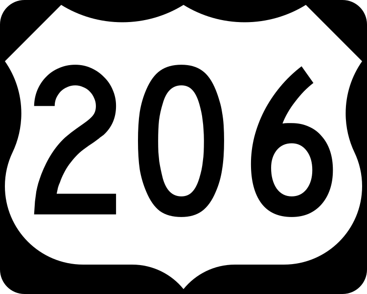
English: 750 mm × 600 mm (30 in × 24 in) U.S. Highway shield, made to the specifications of the 2004 edition of Standard Highway Signs. (Note that there is a missing "J" label on the left side of the diagram.) Uses the Roadgeek 2005 fonts. (United States law does not permit the copyrighting of typeface designs, and the fonts are meant to be copies of a U.S. Government-produced work anyway.) |
| 日付 | (UTC) |
| 原典 | 2004 MUTCD Standard Highway Signs |
| 作者 | Fredddie, originally SPUI |
ライセンス
This file is in the public domain because it comes from the Manual on Uniform Traffic Control Devices, sign number M1-4, which states specifically on page I-1 that:
|
.svg) |
ファイルの履歴
過去の版のファイルを表示するには、その版の日時をクリックしてください。
| 日付と時刻 | サムネイル | 寸法 | 利用者 | コメント | |
|---|---|---|---|---|---|
| 現在の版 | 2017年8月26日 (土) 01:29 | | 750 × 600 (8キロバイト) | Fredddie | |
| 2006年1月27日 (金) 07:48 |  | 750 × 600 (5キロバイト) | SPUI~commonswiki | {{spuiother}} 750 mm by 600 mm (30 in by 24 in) U.S. Route shield, made to the specifications of the [http://mutcd.fhwa.dot.gov/SHSm/Guide.pdf 2004 edition of Standard Highway Signs]. (Note that there is a missing "J" label on the left side of the diagram |
ファイルの使用状況
以下のページがこのファイルを使用しています:
グローバルなファイル使用状況
以下に挙げる他のウィキがこの画像を使っています:
- bn.wikipedia.org での使用状況
- de.wikipedia.org での使用状況
- en-two.iwiki.icu での使用状況
- Interstate 95
- New Jersey Turnpike
- New Jersey Route 28
- New Jersey Route 27
- New Jersey Route 38
- Interstate 80
- Appalachian Trail
- Pike County, Pennsylvania
- New Jersey Route 70
- List of United States Numbered Highways
- New Jersey Route 15
- New Jersey Route 31
- New Jersey Route 54
- New Jersey Route 68
- U.S. Route 130
- New Jersey Route 129
- U.S. Route 206
- New Jersey Route 94
- U.S. Route 30
- U.S. Route 46
- New Jersey Route 208
- County Route 583 (New Jersey)
- New York metropolitan area
- Delaware Valley
- New Jersey Pine Barrens
- U.S. Route 202
- Northeast Corridor Line
- Interstate 287
- Interstate 295 (Delaware–Pennsylvania)
- Calhoun Street Extension
- Interstate 195 (New Jersey)
- Somerville Circle
- Raritan Valley Line
- Milford–Montague Toll Bridge
- Dingman's Ferry Bridge
- Lackawanna Cut-Off
- New Jersey Route 92
- Interstate 95 in New Jersey
- Interstate 80 in New Jersey
- Interstate 78 in New Jersey
- U.S. Route 1 Business (Trenton, New Jersey)
- List of crossings of the Delaware River
- County Route 569 (New Jersey)
- County Route 565 (New Jersey)
- County Route 563 (New Jersey)
- County Route 560 (New Jersey)
このファイルのグローバル使用状況を表示する。