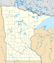
Template:Infobox forest
表示
| Richard J. Dorer Memorial Hardwood State Forest | |
|---|---|
| 地理 | |
| 所在地 | アメリカ合衆国ミネソタ州南東部 |
| 座標 | 北緯44度31分13秒 西経92度27分18秒 / 北緯44.52028度 西経92.45500度 |
| 面積 | 1,016,204エーカー (411,243.2 ha) |
| 成立 | 1961 |
| 管理者 | ミネソタ州天然資源省、個人所有 |
{{Infobox forest
| name =
| native_name =
| native_lang =
| native_name2 =
| native_lang2 =
| photo =
| photo_caption =
| photo_width =
| map =
| map_caption =
| map_width =
| coordinates =
| county =
| region =
| country =
| elevation =
| area =
| max_area =
| date_max_area =
| status =
| established =
| visitation =
| visitation_year =
| events =
| authority =
| website =
| ecosystem =
| classification_WWF =
| classification_EPA =
| classification_CEC =
| disturbance =
| forest_cover =
| species =
| indicator_plants =
| lesser_flora =
| fauna =
}}

